Satellite vegetation management
Many widespread outages in storms are caused by trees or branches blowing into lines. To keep the power on, we run a cyclical vegetation management programme – flying our network in three-to-five-year cycles and using our LiDAR information to identify areas where we need to trim vegetation. While this helps, having the ability to capture field information, identify immediate risks, and generate long-term plans on a network wide scale, is becoming increasingly important to tackle reliability challenges.
Using satellite imagery, we’ve been exploring how to best leverage technology, AI and machine learning to create cost-effective risk plans that address immediate needs and use growth rates and fault trends to identify where our vegetation risk lies into the future.
We’re currently concluding the data capture and analysis sections of our satellite/AI technology programme of work – a first for a local EDB. FY25 will see us adopt the optimal plans for the feeders used in the trial, to measure and track the impact.
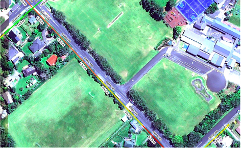
Below: Satellite imagery above Oākura, Taranaki.